Archaeology Surveys
Revealing the human history beneath our feet
Zetica is a leading provider of archaeological geophysical surveys, helping to detect and map buried evidence of previous human activity.
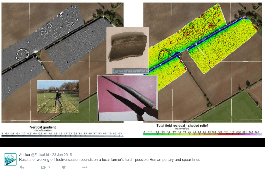
Whether it’s locating a buried WW2 air raid shelter or an Iron Age settlement, our non-invasive geophysical surveys can bring both the recent and distant past to light – crucially without the need to break ground.
The surveys can be used to support archaeological investigations and monument preservation projects (we’re proud to work with English Heritage), or to help inform utilities and construction companies on proposed pipeline routes or development.
Why Zetica?
Traditionally, geophysical surveys have been carried out by hand. Costly and painstaking, this means the same area may need to be surveyed multiple times for archaeological, UXO and geological applications – causing considerable disruption to the landowner.
Significant time and cost savings can be realised by combining geophysical surveys on multi-sensor survey platforms, and that’s what sets Zetica apart.
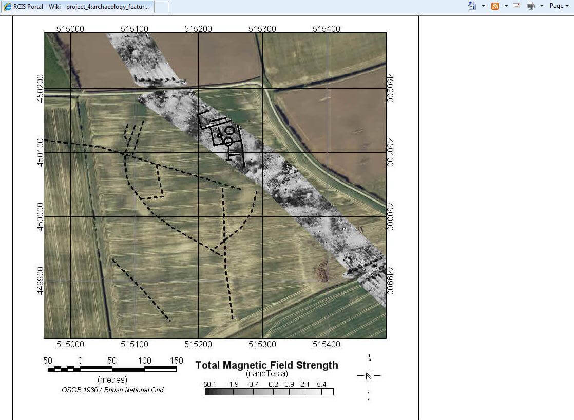
Our archaeology geophysical surveys are bespoke designed to meet your needs, but typically combine techniques including twin electrode resistivity systems, fluxgate gradiometer magnetometers and ground penetrating radar (GPR) – all compliant with English Heritage guidelines.
We also utilise potassium and caesium vapour magnetometers, multifrequency electromagnetic sensors and stepped frequency 3D radar, to amplify the archaeological landscape in the context of geological effects and potential hazards.
How and where our archeology surveys are used
- Proposed pipeline routes
- Proposed road routes
- Settlements of every time period
- Places of worship
- Defence installations
- Burial grounds
- Farms and fields
- Sites of manufacture
- 20th century infrastructure
Find out more…
To discuss your project with one of our geophysical engineers or to get an estimate for our services, please just call (0)1993 886 682.

